Korea & Brake
79. Kim Jeong ho(National Map Museum, Suwon)_김정호(지도박물관, 수원) 본문
79. Kim Jeong ho(National Map Museum, Suwon)_김정호(지도박물관, 수원)
GBbrake 2018. 11. 10. 15:35With the rapid development of the Internet and mobile, it has become an era in which it is easy to find out the current location and destination with the smartphone in our hand. Navigation is the quickest and easiest way to go where you want. The basis of all these things is the map. Map has become indispensable tool in life, like air, but it is easy to overlook about its importance so we don’t know the existence at other times. Not long ago, it was dealt with as a felony, such as the disclosure of national secrets, to distribute accurate maps without the permission of the state.
There was a person who created the most accurate map of Korea before the introduction of modern mapping techniques. He is Kim Jeong ho. It would not have been as easy to get information as it is in modern times, but he collected the geographical information from all over the country alone and compile the map in detail. This achievement is enough for him to be one of the 100 great man. For more information on Kim Jeong-ho, please refer to the reference room in my blog (http://gbbrake.tistory.com/31)
I visited the National Map Museum located in Suwon, Gyeonggi-do to commemorate Kim Jung-ho, who made a mark on the map history of Korea. The Museum has been built by the Ministry of Land, Transport and Maritime Affairs and is a museum that organizes and stores maps and related artifacts and materials systematically.
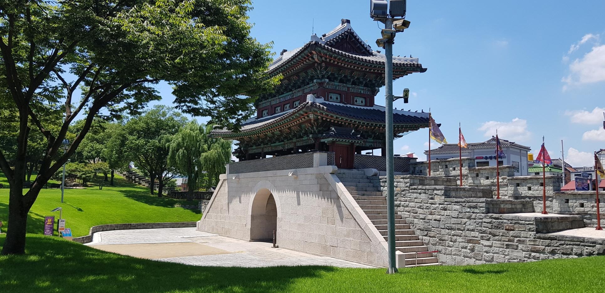
The Map Museum is located about an hour from Seoul by car.
인터넷과 모바일의 급속한 발달에 의해 손 안의 스마트 폰으로 현재 위치 및 가고자 하는 목적지를 손 쉽게 찾아낼 수 있는 시대가 되었다. 네비게이션은 원하는 곳으로 가장 빠르고 편한 길을 소요시간까지 친절하게 안내해 준다. 이 모든 것의 바탕이 되는 것은 지도이다. 지도는 공기와 같이 생활에 필수 불가결한 요소가 되었지만 평소에는 정작 있는지조차 모를 정도로 그 중요성에 대해 간과하기 쉬운 도구이다. 불과 얼마 전 까지만 해도 정확한 지도를 국가의 허락 없이 배포하는 것은 국가 기밀을 누설하는 것과 같은 중범죄로 다루어 졌다.
현대적 지도 제작기법이 도입되기 전 우리나라의 가장 정확한 지도를 만들어낸 이가 있었으니 바로 김정호 선생이다. 현대와 같이 정보를 입수하기 쉬운 시절도 아니었을 텐데 그것도 거의 혼자서 전국 각지의 지리 정보를 수집하여 상세하게 지도를 편찬했다는 것은 이 분을 100명의 위인 반열에 올리기에 충분했을 것이다. 김정호에 대한 자세한 내용은 자료실을 참고하도록 하자.(http://gbbrake.tistory.com/31)
우리나라 지도역사에 한 획을 그은 김정호 선생을 기념하기 위해서 경기도 수원에 위치한 지도박물관을 방문하였다. 지도박물관은 국토교통부가 주관하여 건립하였고 지도와 관련된 유물 및 자료들을 체계적으로 정리하여 보관, 전시해 놓은 박물관이다.
지도박물관은 서울에서 승용차로 약 1시간 거리에 위치한다.
Address : 92, World cup-ro, Yeongtong-gu, Suwon-si, Gyeonggi-do, Republic of Korea

The entrance of the map museum. The feeling of the government office was stronger than the museum.
지도박물관의 입구. 박물관이라기 보다 관공서의 느낌이 강하게 풍겼다.


A parking lot next to the museum entrance. There is no parking fee. Although the space is not so wide, but there are not many visitors, so parking would not be difficult.
박물관 입구 바로 옆에 마련된 주차장. 별도의 주차비는 없고 공간이 그리 넓지는 않지만 방문객 수가 많지 않아 주차에 어려움은 없을 것으로 보여진다.

Outdoor exhibition area of the map museum displays various observation instruments used for map making in various places.
지도 박물관 야외 전시장에는 곳곳에 지도제작에 사용되는 각종 관측기구등이 전시되어 있다.


A bench mark, which the Ministry of Land, Transport and Maritime Affairs has set up and managed, is for use as the height measurement standard of the country.
국토의 높이 측량기준으로 사용하기 위해 국토교통부에서 설치, 관리하고 있는 수준점이다.

Statue of Gosanja Kim Jeong ho. He is the most famous person in Korea 's map history. If you look closely, it is very huge. In his history book, which I learned in childhood, Kim Jeong ho aroused anger of Heungseon Daewonun for the leakage of the country's secrets. He was stuck in the jail with his daughter, was tortured and died in prison, and all woodecuts of Daedongyeojido(Map made by Kim) were burned. It is not true. Perhaps it was distorted during the Japanese colonial period. Rather, there is a record of supporting the cartography by the Joseon government at that time, and woodcuts of Daedongyeojido are also now being kept in the National Museum of Korea.
고산자 김정호 선생의 동상. 한국의 지도역사에 있어 가장 유명한 분이다. 가까이서 보면 엄청 크다. 어렸을 적 배운 역사책에는 김정호가 나라의 기밀을 누설한 죄로 흥선대원군의 노여움을 사서 딸과 함께 옥에 갇혀서 모진 고문끝에 옥사했으며 대동여지도의 목판도 모두 불태워졌다고 나와 있었는데 이는 사실이 아니다. 아마도 일제강점기에 왜곡된 것이 아닌가 싶다. 오히려 당시 조선 정부에서 지도 제작을 후원하였다는 기록이 있으며 대동여지도의 목판본도 현재 남아서 국립중앙박물관에 보관중에 있다.

It is an integrated datum point, which is an important reference point showing geographical coordinates determined by the National Fundamental Survey, which provides the basis for other surveys.
통합기준점 이라고 하는데 국가 기본측량에 의해 결정된 지리좌표를 표시한 기준점으로서 다른 측량의 기준을 제공해 주는 중요한 자료이다.


The map museum comes out when you walk up while looking various equipment and reference points installed here and there of the exhibition garden. It is a simple but solid building.
야외전시장 여기저기 설치된 각종 장비, 기준점들을 보며 위로 올라가다 보면 지도박물관이 나온다. 간결하지만 견고해 보이는 건물이다.

Once inside the museum, Daedongyeojido is decorated in the center. Natural light and lighting are added to create a bright atmosphere. Daedongyeojido is designated as a treasure of the Republic of Korea and is the most accurate map of the Korean Peninsula produced before the introduction of modern surveying.
박물관 내부에 들어서면 대동여지도가 중앙을 장식하고 있다. 자연채광과 조명이 더해져 환한 분위기를 연출한다. 대동여지도는 대한민국의 보물로 지정되어 있으며 근대적 측량이 있기 전 제작된 한반도의 지도 중 가장 정확한 것이다.

The viewing direction is from the left in the main hall. The first exhibition hall is regarding history and various kinds of old maps are displayed. Big sized map of Daedongyeojido is printed on the floor so you can watch detail of them well. Unfortunately, many of the explanations are only in Korean, so it is difficult for foreigners who do not know Korean to understand.
관람방향은 메인 홀에서 왼쪽부터 이다. 첫 번째 전시관은 역사관으로 다양한 고지도가 전시되어 있으며 바닥에는 대형 대동여지도가 있어 자세한 관찰이 가능하도록 하였다. 아쉬운 것은 많은 설명이 모두 한글로만 되어 있어 한글을 모르는 외국인의 관람이 어렵다는 것이다.


After viewing the history museum and passing through the following passage, a modern museum appears. You can meet various globes of the world and surveying and printing machines for modern mapping.
역사관을 관람하고 아래의 통로를 지나면 현대관이 나온다. 현대 지도제작에 필요한 측량 및 인쇄기계들과 세계의 다양한 지구본을 만나볼 수 있다.

Machines for printing maps.
지도를 인쇄하는 기계들.

Surveying tools.
측량 도구들이다.


Globes of various sizes and shapes. It is as beautiful as a jewel if they are looked at from a distance.
다양한 크기와 모양의 지구본들. 멀리서 보면 보석같이 아름답다.


Accurate maps were enough to map of the town or surrounding area because the living area of ordinary people was not wide in the past. With the development of traffic and the wider area of life, maps of a wide area have become important to everyday life. The map of the national level was a very important means to government in the past, and the best fruit of the map making techniques of the Joseon Dynasty was the Daedongyeojido. I admire and applaud Kim Jeong ho who left a great masterpiece in Korean history.
정확한 지도는 과거에는 일반 사람들의 생활범위가 넓지 않았기 때문에 마을이나 주변지역정도의 지도로 충분하였으나 교통이 발달하고 생활권이 점점 넓어지면서 광범위한 지역의 지도가 일상생활에도 중요해지게 되었다. 국가적 차원에서의 지도는 과거에도 매우 중요한 수단이었으며 조선의 지도제작기술의 결정체가 바로 대동여지도였다. 한국역사에 위대한 걸작을 남긴 김정호 선생께 존경과 박수를 보낸다.


